
Product Recommendations for Deep Mineral Exploration Programs
Deep mineral exploration programs in Central Asia may involve complex terrain, variable overburden, limited field access, and the need to integrate multiple geophysical methods. For gold, iron, copper, and other mineral targets, equipment selection should be based on target depth, expected electrical or magnetic contrast, survey-area size, terrain, power availability, and the drilling-verification plan.
Geomative provides electrical resistivity, induced polarization, transient electromagnetic, magnetic-survey, and power-supply equipment that may be considered within such a workflow.
Electrical Resistivity and IP Systems
GD-20 for Multichannel Survey Work
The GD-20 electrical resistivity system uses an independent 5/12-channel design. In ERT mode, it supports up to 10-channel data acquisition, while VES mode can test up to 12 sets of sounding points simultaneously. The product page states that, under comparable conditions, its average testing efficiency can be approximately two to three times that of single-channel equipment.
GD-20 supports resistivity, induced polarization, self-potential, and applicable 2D, 3D, and pseudo-3D survey configurations. Its high-power IP mid-gradient profiling function may be relevant where IP response is included in the mineral-targeting workflow. The suitability of IP or ERT for a specific ore target depends on local geology, mineralization style, background response, electrode layout, and interpretation methodology.
GD-10 for Flexible Survey Configurations
GD-10 supports 1D Vertical Electrical Sounding, 2D ERT/IP profiling, and configurable survey layouts. It may be suitable for preliminary investigations, detailed follow-up surveys, or locations where a single-channel workflow better matches the available field layout and project scale.
Both GD-10 and GD-20 produce geophysical information that must be interpreted together with geological mapping, geochemical data, borehole records, and drilling verification. Electrical anomalies alone do not confirm an ore body, reserve size, grade, or economic viability.
Power Supplies for Field Configuration Requirements
Power selection should be based on the survey method, electrode spread, transmission requirement, available site power, and environmental conditions.
-
BP-300 provides selectable DC output options for field electrical surveys.
-
BP-450 supports output options up to 450V for applications requiring higher-voltage field power.
-
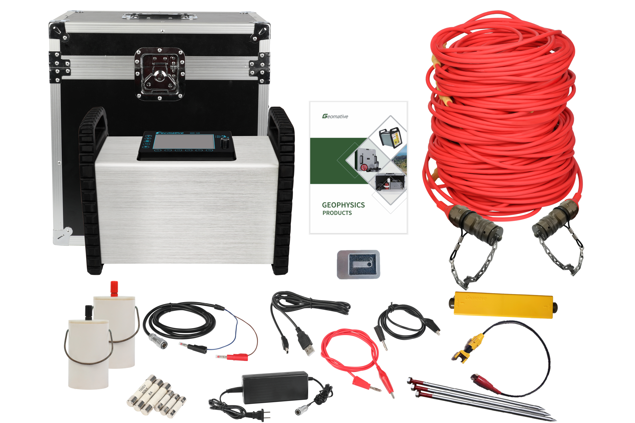
GP-5000 converts external 220V AC input into continuously adjustable 0–1000V DC output, with up to 5A current and 5kW maximum power. It has no built-in battery and should be selected only where external AC power and the required field safety arrangements are available.
Appropriate power delivery supports field operations, but it does not independently determine investigation depth, signal quality, or target identification accuracy.
TEM Systems for Middle- and Deep-Target Assessment
For projects requiring transient electromagnetic investigation, the GT10 Mineral TEM system combines receiver, transmitter, and power supply in a lightweight “one-box” design. The manufacturer describes it as applicable to mineral, geological-structure, and groundwater exploration.
Its product page describes a detectable depth range of 30–1300m. Actual effective depth, resolution, and target detectability depend on conductivity contrast, transmitter configuration, noise conditions, terrain, and the selected survey parameters. This range should therefore be treated as a product capability reference rather than a guaranteed investigation depth for every Central Asian mineral target.
The GT20 TEM system is positioned for advanced geological prediction in non-coal mine roadways and tunnel environments. It should be selected according to the specific tunnel or underground-engineering objective, rather than presented as a universal solution for all regional mineral exploration programs.
Magnetic Survey Tools
Geomative’s GPM-10 proton magnetometer can support magnetic surveys where the target geology is expected to create measurable magnetic contrasts. Integrated positioning and synchronized data collection can assist field mapping workflows.
Magnetic results should be interpreted with lithological, structural, and geological context. A magnetic anomaly does not by itself confirm the presence of gold, iron, copper, or any other mineral resource.
Evidence From Documented Cases
Geomative’s documented cases provide application references across hydrogeology, environmental investigation, archaeology, and mineral-related work. They should be cited within their original evidence boundaries.
-
Morena, India: GD-10 Supreme+ was used for 1D VES and 2D resistivity imaging in hilly sandstone-and-shale terrain. The investigation did not identify a major aquifer within 150m. It indicated that deeper confined groundwater might be possible based on the surrounding hydrogeological setting.
-
Quezon, Philippines: A groundwater investigation used seven VES points, hydrogeological assessment, and resistivity interpretation to recommend priority areas and proposed drilling depths. The findings required subsequent drilling and pumping-test verification.
-
Chemical-factory oil-pollution investigation: ERT was used to interpret pollution-related anomalies; the reported distribution and depth should be understood as geophysical interpretation supported by project-specific verification.
-
Wuta Temple, Beijing: A proprietary high-density electrical method was used to identify underground cavities without excavation, providing an example of non-excavation subsurface characterization.
These cases demonstrate the use of geophysical methods in varied terrain and project contexts. They do not independently prove mineral-discovery success, ore grade, reserve size, or deep-mineral performance in Central Asia.
Monitoring and Data Workflow
Geomative Online Monitoring System supports online data monitoring, inversion, modelling, display, cloud transmission, and configurable warning notifications. Its stated application directions include landfill leakage, contaminated-site groundwater migration, hydrogeological hazards, tailings/dam safety, and slope-collapse monitoring.
For active mining projects, this type of system may be considered separately for infrastructure or environmental-risk observation where the site has a defined monitoring objective. It should not be presented as a substitute for exploration surveys, drilling, geological modelling, or mine-design assessment.
Conclusion
For Central Asian deep mineral exploration programs, Geomative’s GD-20, GD-10, GP-5000, GT10, GT20, and GPM-10 can be evaluated as equipment options for different survey objectives. The most appropriate selection depends on the target’s expected physical properties, survey depth, terrain, power conditions, logistics, and verification plan.
A defensible exploration workflow combines geophysical survey design with geological evidence, field quality control, borehole drilling, sampling, and laboratory analysis. Geomative’s product range can support parts of that workflow, but no single instrument or geophysical anomaly can confirm a viable mineral deposit on its own.
https://www.geomative.com/
Geomative Co., Ltd.



+ There are no comments
Add yours